

Shoshone Canyon.

Buffalo Bill Dam.

Shoshone Canyon below the dam.

Northeast corner of Buffalo Bill Reservoir with Rattlesnake Mountain along the skyline.

Paleozoic sedimentary rocks along the northwest side of Buffalo Bill Reservoir, west of Cody, Wyoming.

A 'Z' fold in Paleozoic sedimentary rocks on the south side of Buffalo Bill Reservoir, near the dam.
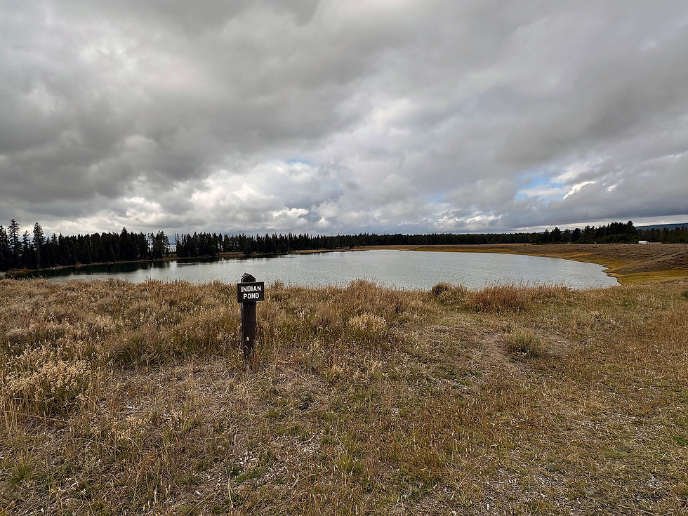
Indian Pond, created from a hydrothermal explosion from an ancestral volcano about 2,900 years ago.

Sedimentary deposits formed from a slurry of water, pyroclasts, mud, and debris flows (lahars).

Paleozoic sedimentary rocks unconformably overlie Precambrian igneous and metamorphic basement rocks.
Steeply dipping sedimentary rocks on the distant west face of Rattlesnake Mountain, an asymmetric anticline.

Layered volcanically derived sediments composed of pyroclasts, mud, and glass shards. Weathered along vertical zones of weakness.

Short stretch of the Shoshone River with weathering along vertical zones of weakness in volcanically derived sedimentary rocks.

Weathering along vertical zones of weakness in volcanically derived sedimentary rocks.

Weathering along vertical zones of weakness in volcanically derived sedimentary rocks.

A brief rain along the Chief Joseph Scenic Byway, Wyoming.

Rainbow forming on the backside of the storm cell, Chief Joseph Scenic Byway.